The LTN's Nobody is Complaining About

Franklin Road LTN Measure

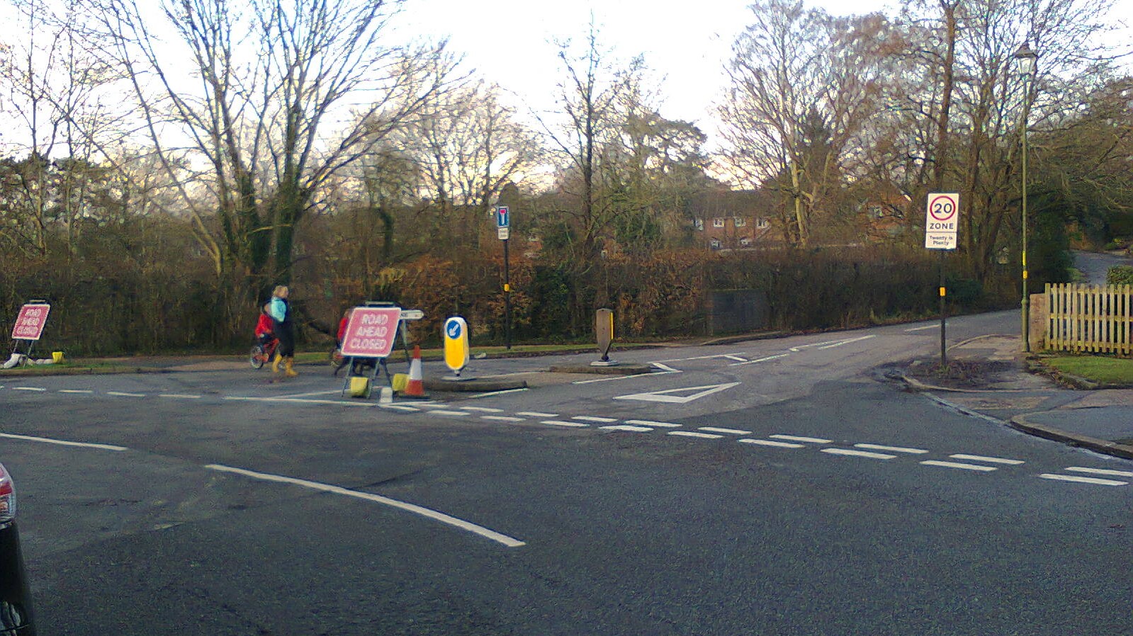
Franklin Road has been closed off to motor traffic at one end (pictured) to create a low traffic neighbourhood (LTN). It is one of a number of LTN schemes implemented in the last year in Birmingham. There has been a foul backlash against LTNs, including death threats, and local MP Stephen McCabe has called for them to be suspended in the Brandwood part of his constuency. Yet the LTN in Walthamstow has been highly praised, and LTNs are the norm in the Netherlands and Germany. There it is standard practice to build new neighbourhoods as LTNs, and many existing neighbourhoods have been modified to be LTNs like the city council has done on a tiny scale in Birmingham. So why the backlash? Are LTNs intrinsically against the nature of Brummies? They have in fact been around a long time in Birmingham, and opposition to change is not just a British thing. The real difference is that those places that made a success out of LTNs had leaders who acted out of knowledge and led their community to better things, which those communities now greatly appreciate. Populist actions might offer short-term gains, but ultimately they self-destruct as a result of all the self-contradictions. Stephen McCabe's own survey that led him to call for the suspension of LTNs in Brandwood also told him that "81% thought we should be trying to make walking and cycling in the constituency safer". That wont happen by magic. It requires engineering, change, and leadership. LTNs are a proven technique.

Below is a photographic tour of some of the LTNs in Bournville, old and new. The photos are all from Bournville because I've lived there for twenty years, in a low traffic neighbourhood. Contrary to the idea that you cannot drive to and from your house, as claimed by the BBC on more than one occasion, I have a car, it's parked right outside my house, and I have no difficulty getting it there; the idea promoted by the BBC is simply false. An LTN is simply a collection of roads that are closed to through motor traffic using filtered permeability that allows people to walk and cycle directly between those roads. The LTN where I live is in fact part of a network of LTNs that mean I also have quiet cycling and walking options available to me, and I make full use of them, as do others. I regularly see people walking and cycling past my house. I've documented just a few of the LTNs on the Bournville estate, but there are others, including one I wrote about previously. Bournville was built by the Cadbury brothers, who were keen "cyclers" (to use the term they would have used). At a time when motor vehicles were rare, they wanted Bournville built as a walking village, with direct footpaths for those on foot, and rather less direct roads. In creating a quiet neighbourhood for all (Bournville has always been a mix of private, rented, and social housing), the Cadburys intentionally created a desirable place to live (many Push Bikes members live here). They were, as in other areas of human activity, a century ahead of their time. Yet many people are still arguing against their proven ideas.

One of the criticisms of the Kings Heath LTN has been that it is creating huge amounts of traffic on main roads. Leaving aside that motor traffic should be on main roads engineered to carry high traffic loads rather than rat-running through narrow residential streets, past experience of LTNs tells us that the effect is only temporary. As people get used to the new arrangement and change their approach (such as by cycling and walking rather than driving), motor traffic on roads around the edge of the LTN stabilises at around the level it was before, whilst overall motor traffic levels go down. Those who live in Bournville will know that the distributor roads are no more jammed with cars than in any other part of the city. The A4040 passes through both Bournville and Kings Heath, and in both areas it has long been a busy road. It's worth adding that in the case of Kings Heath, the traffic increase has been magnified by a return from lock-down and a fault with the traffic lights at the Red Lion junction.

So now it's time for you to hop on your virtual bike and let me lead you through the LTN's of Bournville.

Tags: 

Franklin Road

Franklin Road
Franklin Road has been closed off at the other end to create a low traffic neighbourhood (LTN). Opposite Franklin Road is Oak Farm Road, which most people in the UK would call a cul-de-sac (not knowing that it translates it something very coarse in the original French). Oak Farm Road was in fact built as an LTN decades ago.

Tags: 

Lake View Close

Lake View Close
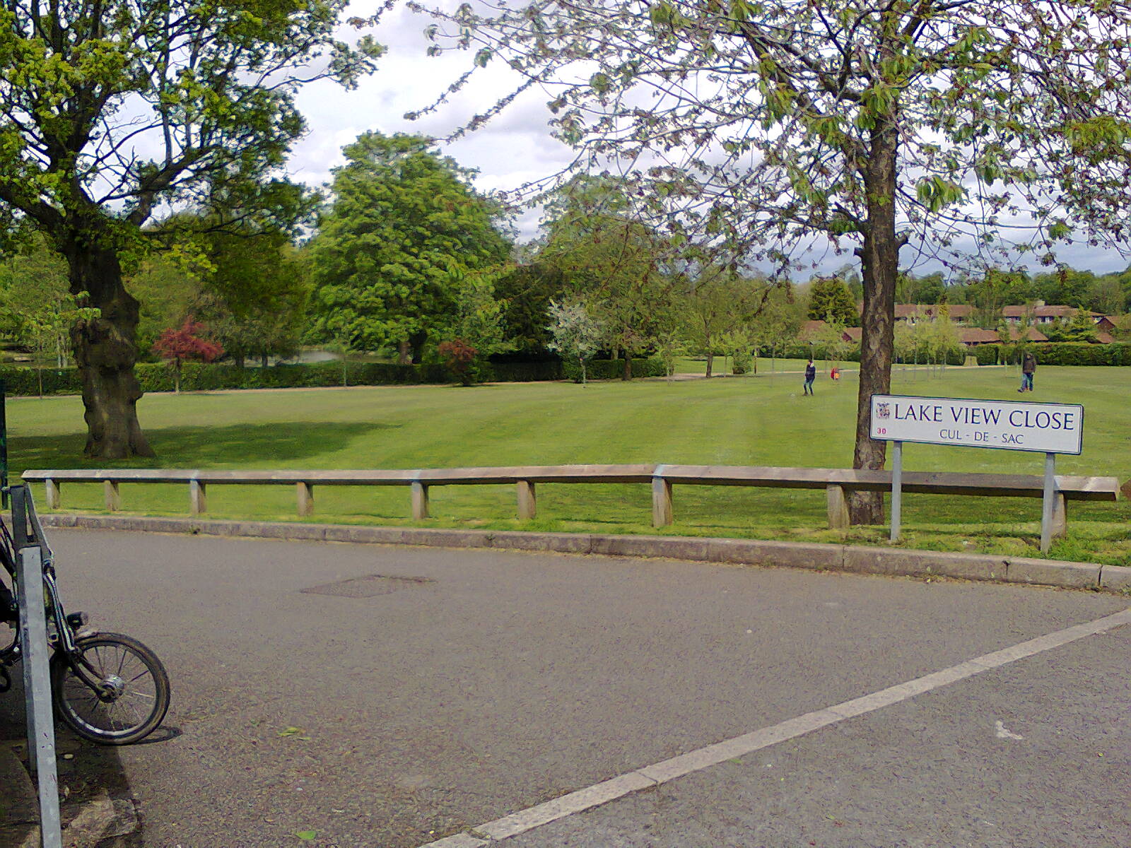
In a motor vehicle, the only way out of Oak Farm Lane is back the way you came. For those on foot or on a cycle, there is also access to Northfield Road and Kings Norton Boys School, and in the opposite direction to Heath Road via Lake View Close and a moderately wide asphalted path. This difference in accessibility is called filtered permeability.

Tags: 

Heath Road

Heath Road
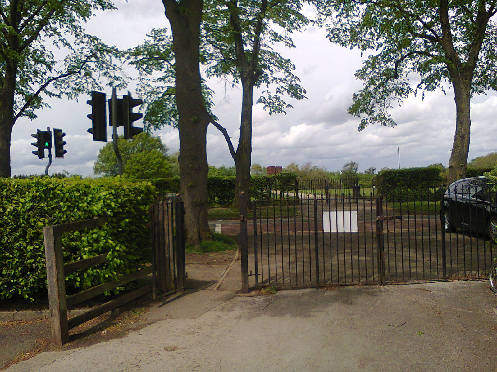
In LTN terms Heath Road is (currently) a distributor road, and rather busy, but a controlled crossing is provided here. It is a pedestrian crossing, but people on bikes are generally fast enough to get across without using it. The path across Rowheath continues on the other side, leading to Teazel Avenue.

Tags: 

St Francis School, Teazel Avenue

St Francis School, Teazel Avenue
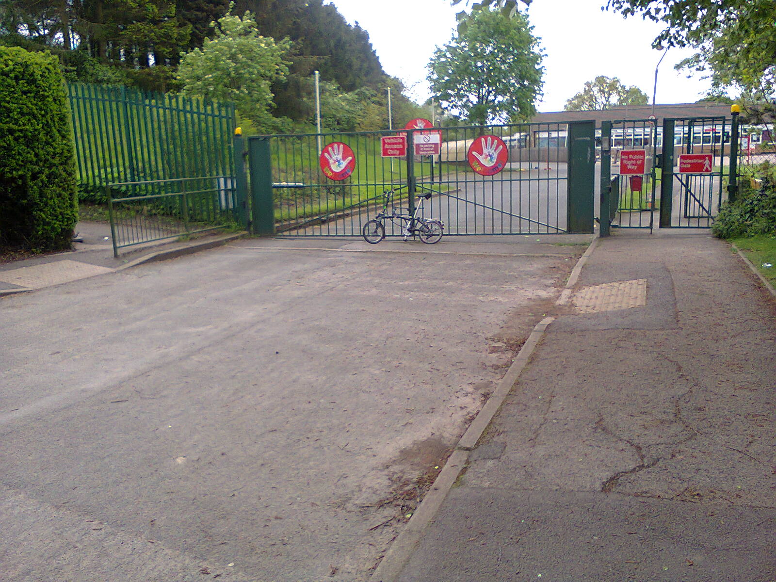
The path across Rowheath joins Teazel Avenue at the entrance to the St Francis junior and infants school. Teazel Avenue and Berberry Close were built in the early 1970s as a large LTN. Since then school traffic had built to such a level that Teazel Avenue was recently made a school road. People who know the benefits of LTNs want to maintain them as such.

Tags: 

Teazel Avenue - Berberry Close Emergency Access Track
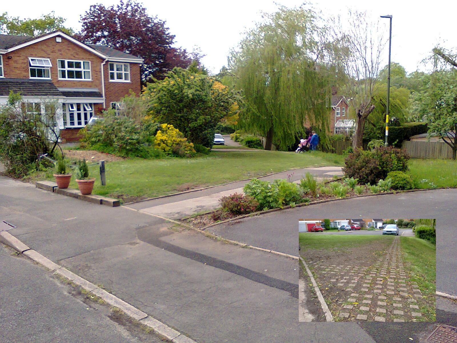
Teazel Avenue - Berberry Close Emergency Access Track
This piece of grass between Teazel Avenue and Berberry Close is in fact a concrete mesh emergency access track, its closure to general motor traffic marked with a token chain. Cycles and pedestrians can also go this way. This is an example of filtered permeability. Grass is able to grow through the mesh, and rainwater can soak into the ground rather than having to enter the sewerage system. Someone clearly values that grass, as they have been re-seeding it and protecting it from all the pedestrian and cycle traffic that passes through here. Please stick to the asphalt path!

Tags: 

Gallows Brook Path

Gallows Brook Path
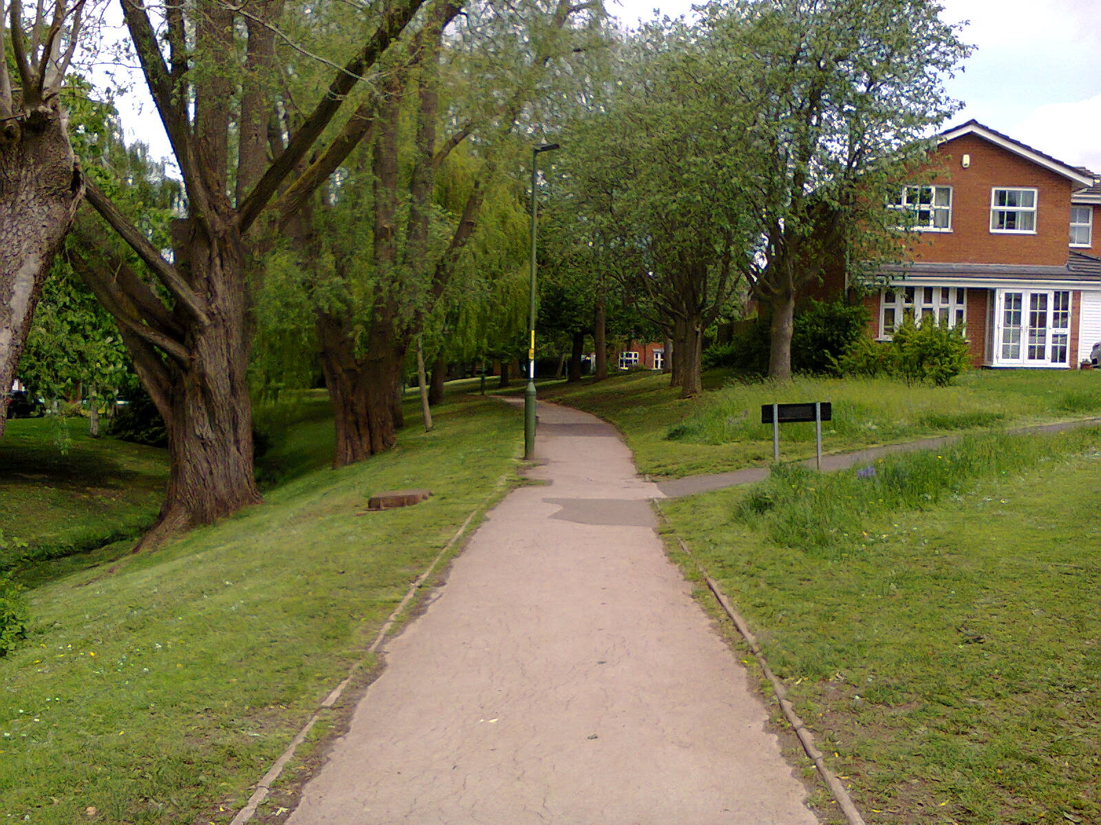
The emergency access track between Teazel Avenue and Berberry Close crosses Gallows Brook Path. This asphalt path runs between Woodlands Park and Bournville Lane. Each of the arms of Teazel Avenue on this side has access to this path, as does the St Francis school.

Tags: 

Bournville Lane from Gallows Brook Path

Bournville Lane from Gallows Brook Path
This is Bournville Lane at the end of path along Gallows Brook. Bournville Lane is another distributor road, crossed via a pinch point island that doesn't work as a traffic calming measure. The road opposite is Hay Green Lane, which leads to the Selly Oak Road LTN measure implemented in 2020.

Tags: 

Oak Tree Lane LTN by Bournville Park

Oak Tree Lane LTN by Bournville Park
A woman with two children on bikes and a dog cross to Bournville Park unmolested by motor traffic, despite the outdated junction geometry. This is where the Merrits Brook Greenway active travel route crosses Oak Tree Lane (https://www.pushbikes.org.uk/blog/merritts-brook-greenway). Bournville junior and infants school, the carillon, and the shops on the village green are a short walk or cycle ride through the park from here.

Tags: 

Woodbrooke Road

Woodbrooke Road
A short path, part of the Merritts Brook Greenway, takes those on foot and on cycles from the Oak Tree Lane LTN to the Valley Parkway. Dame Elizabeth Cadbury secondary school is a very short walk from here along Woodbrooke Road (though cycling on the road here is not a great experience). The houses you can see in the distance are part of another, large estate built as an LTN in the 1970s

Tags: 

Sellywood Road Path

Sellywood Road Path
A path runs between the Valley Parkway and Kingfisher Way. It connects with all the roads in this area, and is very popular with those on foot and on cycles.

Tags: 

Filtered Permeability on to Sellywood Road

Filtered Permeability on to Sellywood Road
This is one of the many access points along the Sellywood Road path. In this case, access is to some garages at the end of Sellywood Road, and thereby to Sellywood Road proper. For motor vehicles on Sellywood Road, this is literally the end of the road. This is an example of filtered permeability.

Tags: 

Sellywood Road

Sellywood Road
Sellywood Road is part of an LTN, with more permeability for active travelers than for motor vehicles. From here you can get up to Langleys Road and the Selly Oak Triangle. Langleys Road is a prime contender for filtered permeability, but as it is it is subject to rat-running and speeding, because it bypasses the controlled junctions at Raddlebarn Road and the Selly Oak Triangle.

Tags: 

Charfield Close Junction

Charfield Close Junction
The Valley Parkway also connects via the boating lake with Bournville Lane at Charfield Close. Charfield Close is screaming out to be made part of an active travel link, but sadly a hopelessly outdated junction design is being carefully preserved (it was recently resurfaced). There is enough space to do a really cracking job.

Charfield Close LTN

Charfield Close LTN
At the end of Charfield Close active travellers have two choices. They can fork to the right and follow the path to Cob Lane and the Merritts Brook Greenway, or continue with the almost non existent motor traffic to some garages.

Tags: 

Charfield Close Filtered Permeability

Charfield Close Filtered Permeability
This is the end of the road for motor vehicles on Charfield Close, but filtered permeability means active travellers can continue on up to Old Barn Road.

Tags: 

Old Barn Road

Old Barn Road
For motor vehicles Old Barn Road ends with some garages, but those on foot or on a cycle have a choice of cutting through to Charfield Close (heading in the direction of Selly Oak), or to Cob Lane and the Merritts Brook Greenway. In the opposite direction this is a quiet road to Berberry Close, also an LTN, and Mulberry Road, which links with more filtered permeability quietened roads to Northfield.

Tags: 

Berberry Close

Berberry Close
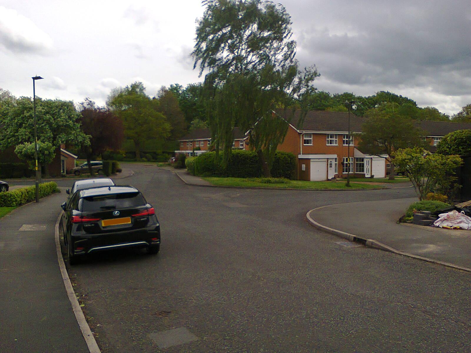
Berberry Close is popular with active travellers because for them it connects Hay Green Lane and Mulberry Road with Teazel Avenue, Bournville Lane, and Woodlands Park Road. For motor vehicles there is only access to Berberry Close, via a junction just behind this viewpoint.

Tags: 

Filtered Permeability on Berberry Close
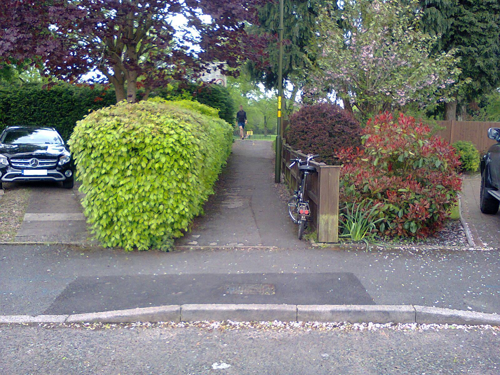
Filtered Permeability on Berberry Close
This narrow but short path links Berberry Close with Woodlands Park Road via the park. It is well used by active travellers. From here one can cycle or walk through parkland to Northfield.

Tags: 

Jervoise Drive

Jervoise Drive
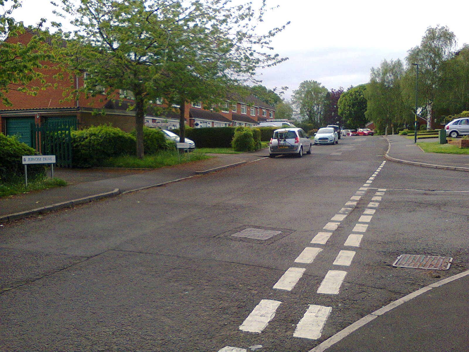
Jervoise Drive is part of a large LTN built in the second half of the last century, Here we are looking towards Wynds Point, where more recent houses than shown here were built.

Tags: 

Path Between Jervoise Drive and Wynds Point
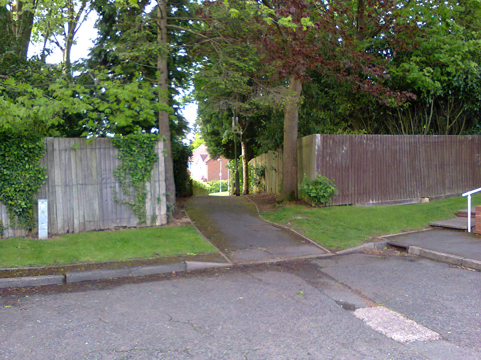
Path Between Jervoise Drive and Wynds Point
From this point active travelers can access the Davids estate and from there the Bristol Road, but motor vehicles are blocked by this filtered permeability.

Tags: 

Wynds Point

Wynds Point
This is Wynds Point as seen from the path that leads to Jervoise Drive. Another path leads to the right to The Davids, which is protected with demountable bollards at both ends. This is an emergency access track, filtered permeability that allows access to to people on foot, on cycles, or in emergency vehicles, but not general motor traffic. There is also a path connecting Wynds Point with the A38, a short distance from the entrance to the Royal Orthopaedic Hospital.

Tags: 

Path Between Jervoise Drive and St Joseph's Avenue

Path Between Jervoise Drive and St Joseph's Avenue
This path provides filtered permeability between Jervoise Drive and St Joseph's Avenue.

Tags: 

St Joseph's Avenue

St Joseph's Avenue
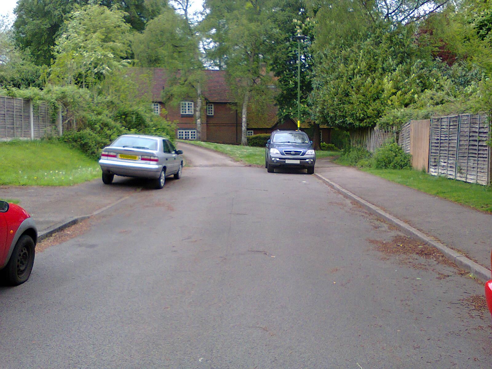
This photo demonstrates that there is no problem driving into an LTN and parking your vehicle on the footway, but what motorists can't do is join Jervoise Drive from here without taking a lengthy detour. This protects St Joseph's Avenue and Jervoise Drive from through motor traffic. For active travelers the connection takes a few seconds along the path to the right of the house. This is classic LTN design.

Tags: 

Garland Way

Garland Way
For active travelers Garland Way connects with Jervoise Drive and St Joseph's Avenue via paths that criss-cross an area of parkland. Motorists would have to drive all around the outside of the area, which is a classic LTN arrangement.

Tags: 

Bournville LTN Tour

Bournville LTN Tour
This is a short tour through various LTNs in Bournville, taking in the existing ones (dark green), and the new ones created in 2020 (light green) that some are denouncing vociferously. You can see that the existing LTNs outweigh the new ones. Wide lines indicate roads, whilst the narrow lines indicate filtered permeability that blocks general motor traffic. The red line marks the route taken, with photo points shown as red blobs.

Tags: