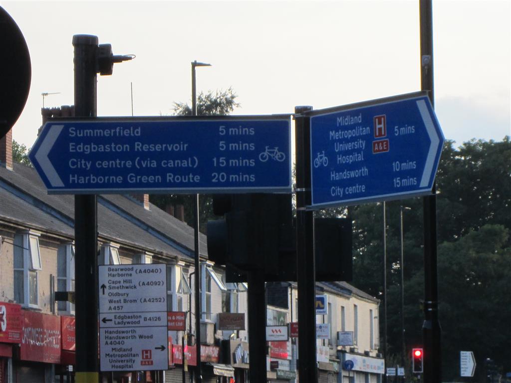
Unlike everywhere else in Birmingham the signage on this route is good. I "asked the family" (and I'm the only one that lives in the West Midlands) if they could work out where I was when I took this photo, and my brother quickly came back with the correct answer (not fooled by the long focal length I used). For me that is an indicator of good signage. I like that the signs list both nearby destinations, and local centres further away by their commonly used names. My only criticism is that they given journey times rather than distances (preferably in metric, which is simpler and more fine-grained than old-skool units). Who was riding the bike when they came up with the times? What sort of bike were they riding? Did they just assume that all bikes go at a certain average speed and work it out that way, in which case did they make allowances for hillage over all or part of the journey? If they did make that allowance, shouldn't they have one time for an e-bike and one for an acoustic bike? Did they allow for time spent waiting at junctions? The list of questions is endless, and simply using distances rather than journey times eliminates that list. But at least I know where the cycleway will take me.